Cartographic Design
This is a collection of maps I’ve created, mostly for a Cartographic Design class at Temple University, as part of their Professional Science Masters in GIS. Software used in this class included Adobe Illustrator, Mapbox, OpenStreetMap, and QGIS.
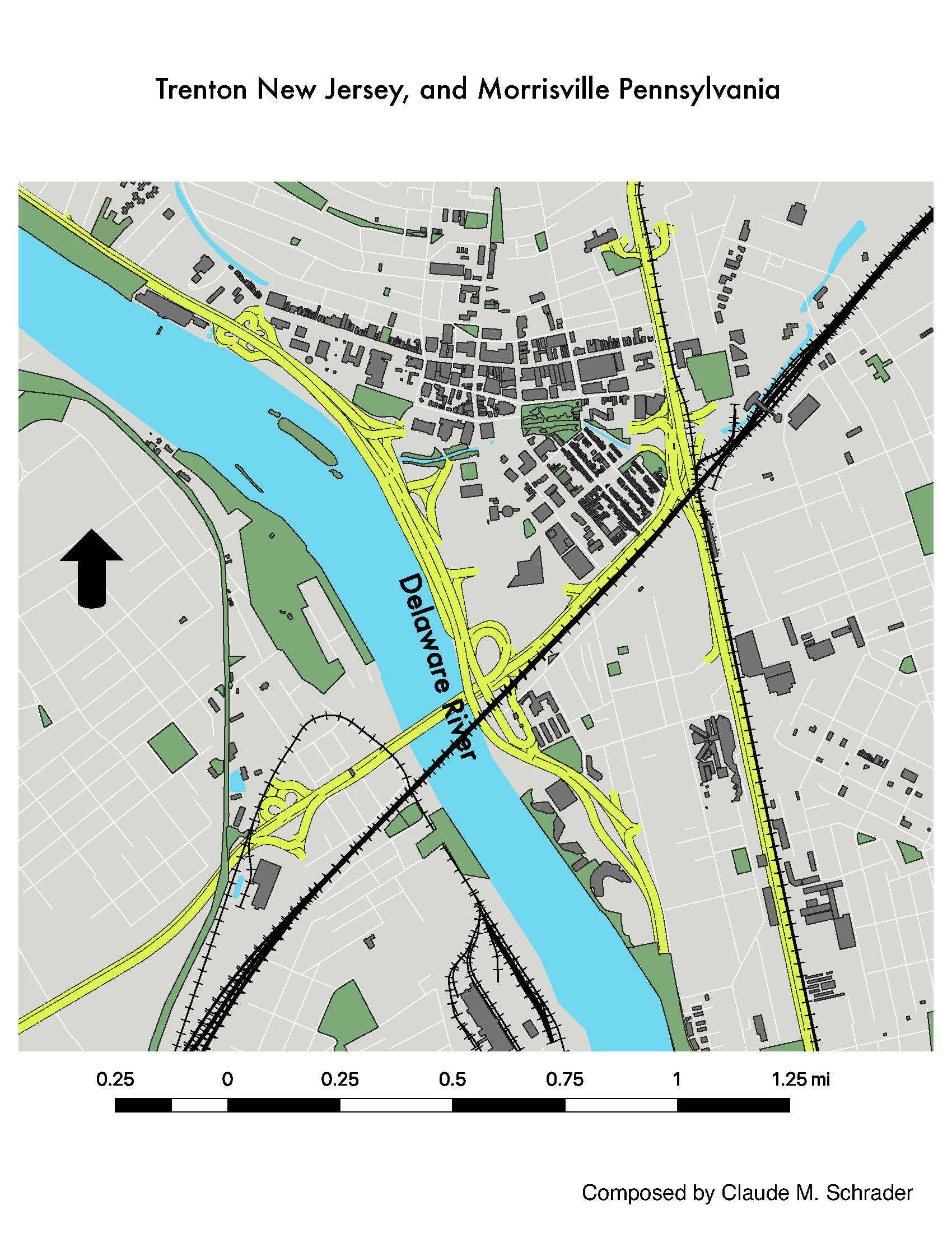
Trenton, NJ
For this map, I started with a qgis database containing a lot of unstyled geospatial data on Trenton New jersey, and Morrisville Pennsylvania. This work involved simplifying and styling this data into a map emphasizing certain elements. I chose to focus on the effects that rail and highway infrastructure have on the waterfront and greenspace.
Taiwan
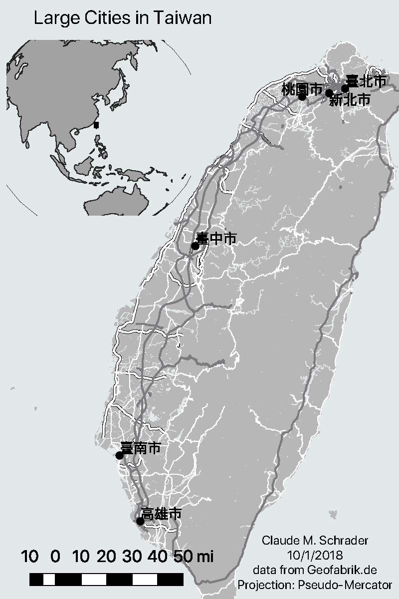
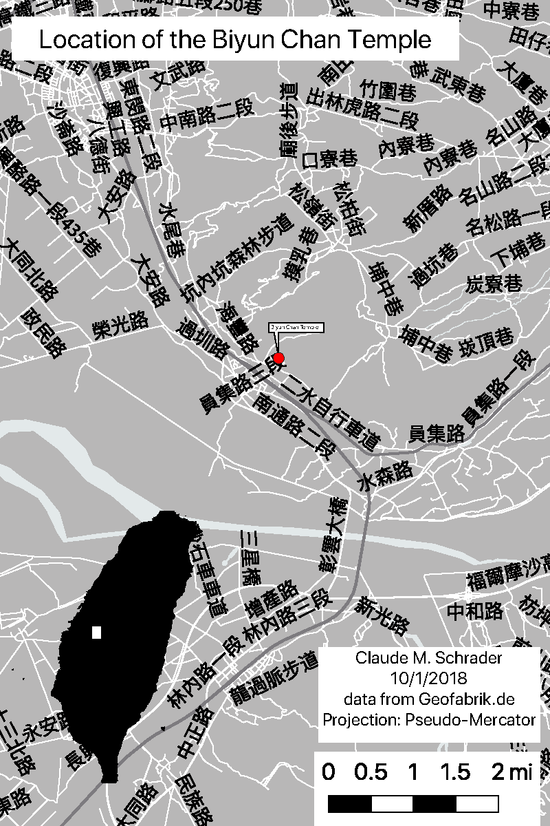
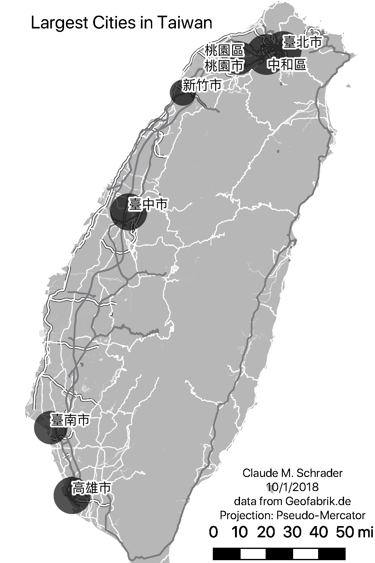
After downloading OpenStreetMap data from Geofabrik using a QGIS plug-in, I created three maps to support a New York Times article on the Biyun Chan Temple in Taiwan.
Philadelphia, PA
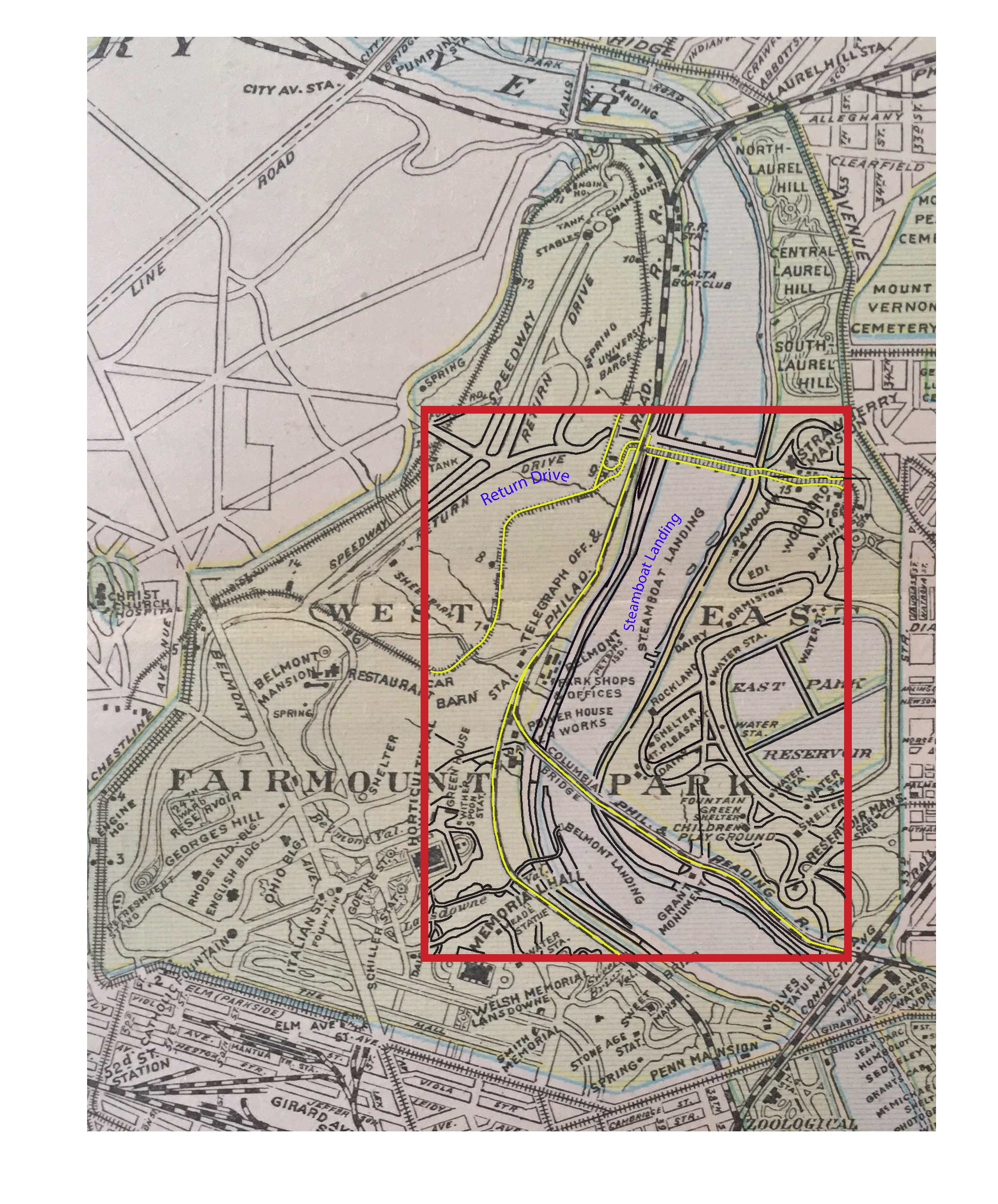
This assignment involved tracing segments of a historic map of Fairmount Park in Philadelphia, as practice using the Pen Tool and placing text on a path in Abobe Illustrator.
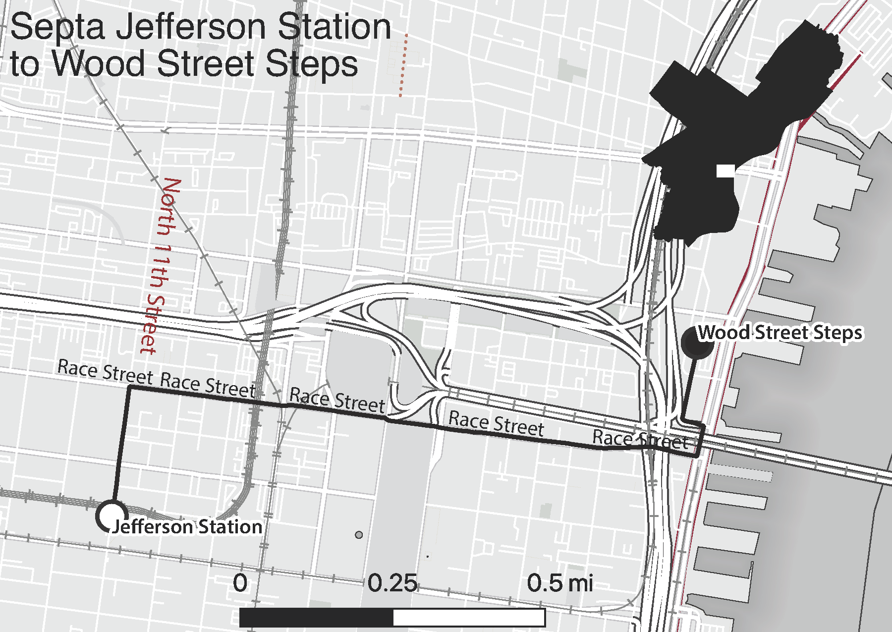
This assignment was the result of a timed in-class test. Given some data from OpenStreetMap, I created a postcard showing a walk from Septa’s Jefferson Station to the Wood Street Steps on the Delaware River Waterfront in Philadelphia. This was done entirely in QGIS, and the finished product was provided in the form of svg and pdf files, both of which must open in Adobe Illustrator.
These three icons were traced from Photographs in Adobe Illustrator, using the pen tool and a mouse.
![]()
![]()
![]()
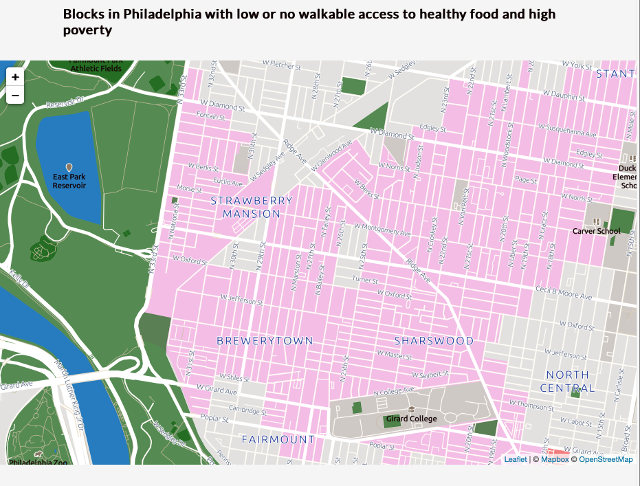
This map was created in Mapbox Studio using data on areas of Philadelphia with high poverty and poor access to food. This data was obtained from OpenDataPhilly.
The Full Map can be found here
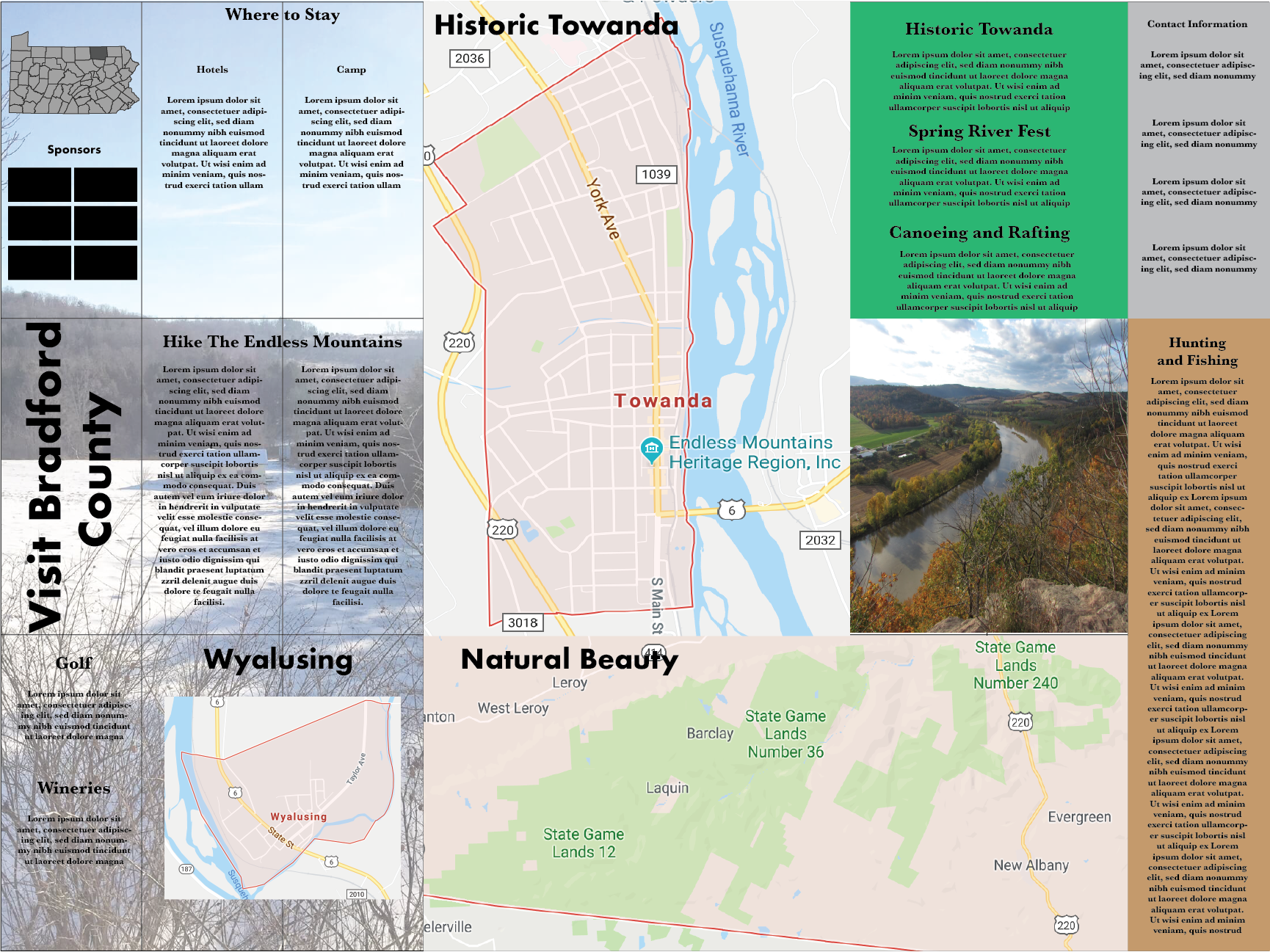
Towanda, PA
This is a mock-up of a large folding map made in Adobe Illustrator. I focused on Towanda PA, and the Endless Mountains Region. The main purpose of this exercise was practice laying out a large map, so the text and visual elements are placeholders.
