Controlling ArcGIS Desktop with Python
Intro
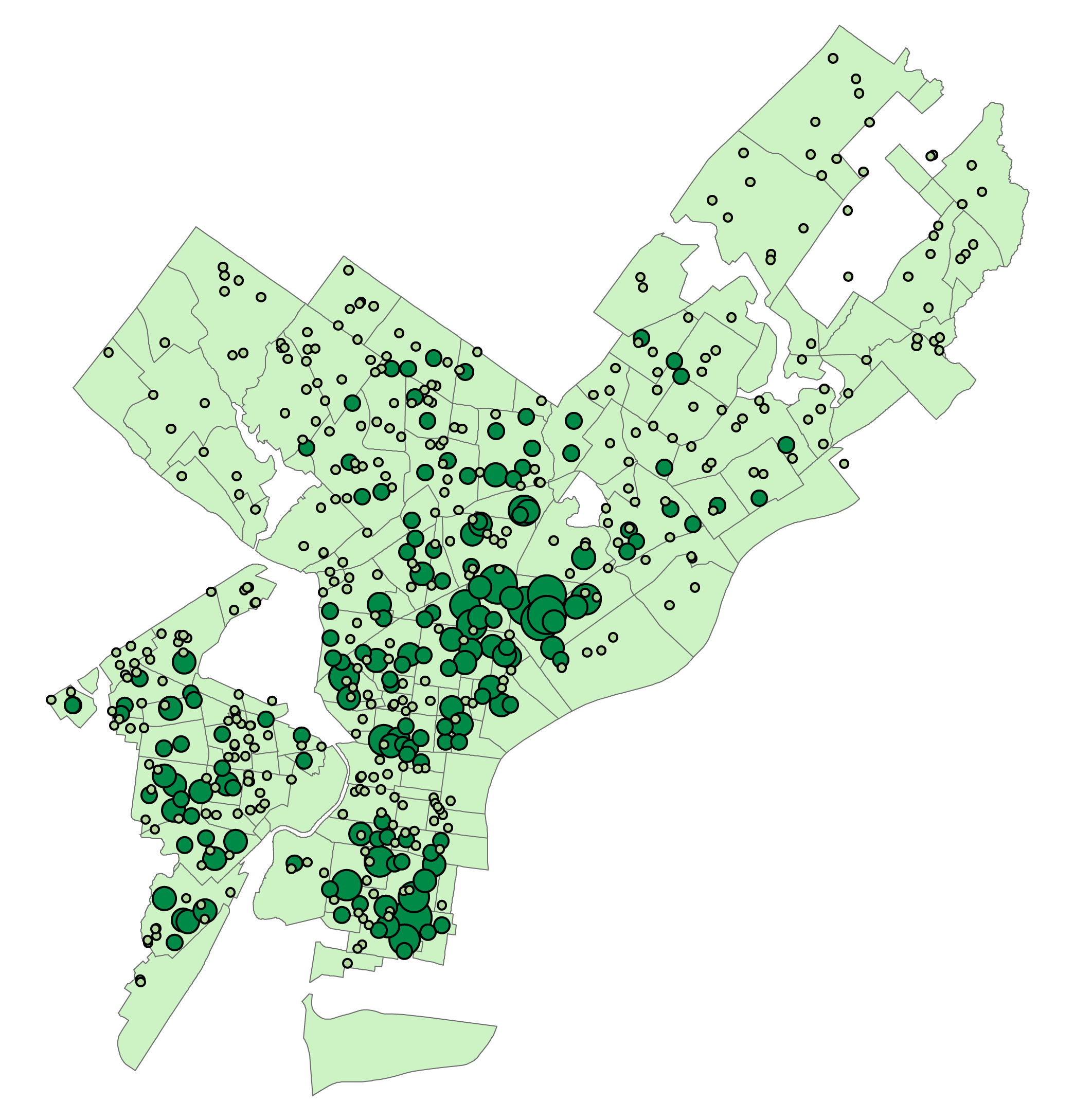
As part of Temple University’s GIS Application Development with Python class, this project was completed as part of the final project. The goal was: create one python script to download and decompress all necessary data, use the ArcPy package to perform some spatial analysis with ArcGIS Desktop, and create a map using the arcpy.mapping module. The mapping module is pretty limited, so the programmatically created map is not a finished product.
I decided to analyze the distribution of healthy corner stores within 300 Meters of each school in Philadelphia using publicly available data.

