About
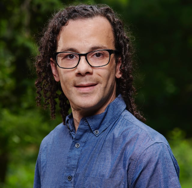
I’m Claude M. Schrader, a dad, community focused tech enthusiast, and lifelong Philadelphian.
I’ve been on the board of Arcadia Commons since 2015, a local nonprofit formed to help save and protect greenspaces around East Kensington. As development activity in this neighborhood increases, we are working to help ensure some of it remains safe and accessible to everyone to enjoy.
You can find me on Mastodon, GitHub, and LinkedIn. I post photography on Pixelfed.
What I do
I lead the geospatial and machine learning team at NetImpact Strategies, working on a federal IT operations contract. The work centers on migrating ArcGIS Enterprise environments into AWS, bringing an in-house machine learning workflow into production, and automating geospatial workflows along the way.
I started out in Information Technology, managing HPC clusters and Linux infrastructure for research institutions, with a Bachelor of Science in Information Systems from Drexel. After noticing the growth and opportunity surrounding data-focused jobs, I decided to shift my career and went back to school at Temple University for a Professional Science Masters in GIS. I’m an AWS Certified Solutions Architect – Associate.
About the site
This site started as a place to document that education, and it’s since become where I keep the rest of the work too: cartography and map design, spatial analysis in Python and R, machine learning experiments, and notes on Linux infrastructure going back to 2012.
Some of it documents work I did elsewhere. The Tinycore Linux posts describe the diskless game server network I built at Hit the Sticks in 2012, and the Keras and Tensorflow posts came out of research at Temple’s Remote Sensing and Sustainability Lab.
The Projects page collects everything by topic, and my resume is here if you need it.